
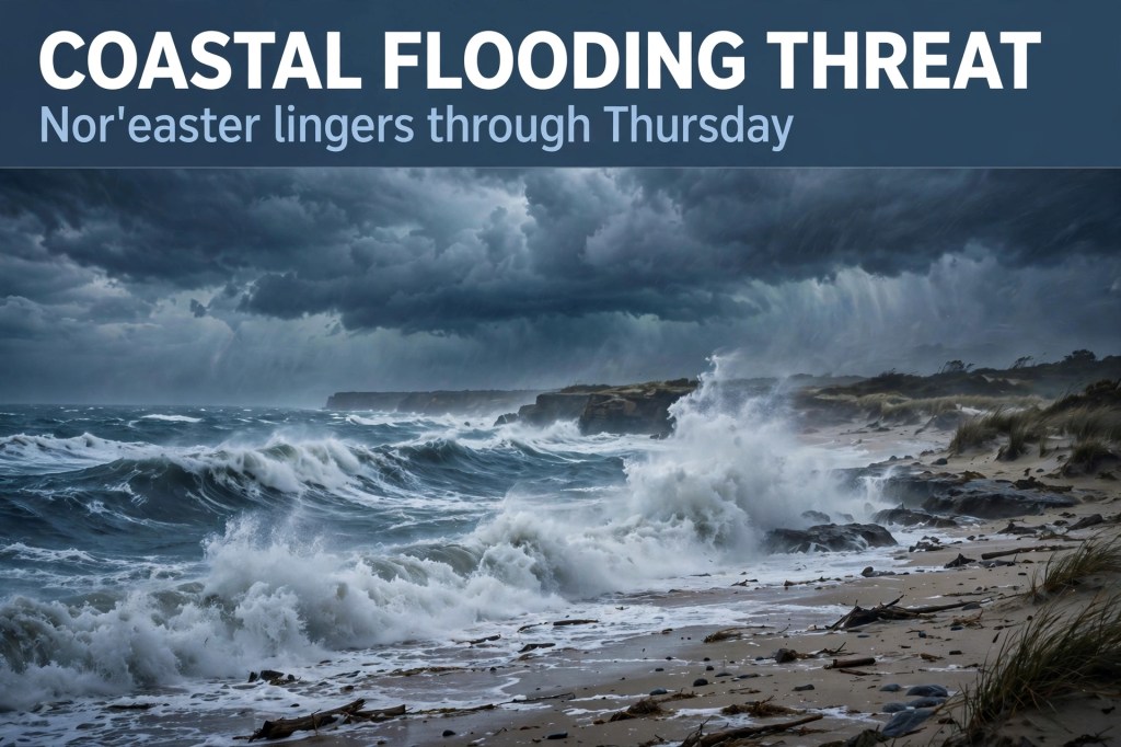
🌊 The same system that brought us Saturday’s gale warning is sticking around — and it’s shaping up to be a coastal flooding story all week.
A storm-force low is forming off the southeast coast, and the National Hurricane Center now gives it a 40% chance of developing subtropical characteristics over the next week (up from 30% yesterday morning). Regardless of whether it gets a name — it would be Josephine — the impacts are the same: gusty northeast winds through multiple high-tide cycles, coastal flooding, and rough surf from Florida to New England.
For our stretch:
- Coastal flood alerts are active for coastal NC and Virginia — 1 to 4 feet of inundation possible.
- The National Weather Service has a Beach Hazards Statement in effect for the Grand Strand coast through 8 PM tonight.
- The storm peaks late Tuesday and lingers through Thursday. It won’t be as strong as September’s nor’easter, but it sits longer — and that’s worse for beach erosion.
- The Oyster Festival felt the wind early: Saturday closed early, per the StarNews.
Source: National Hurricane Center / National Weather Service, Oct. 19 morning.
Sources: National Hurricane Center; National Weather Service.


Leave a Reply